Trail Mountain bike La Chapelle-aux-Bois - Espace VTT FFC Chemins du Coeur des Vosges - circuit n°19 - Le Rouge Moulin - Photo

Espace VTT FFC Chemins du Coeur des Vosges - circuit n°19 - Le Rouge Moulin

 tracegps
tracegps

User

© OpenStreetMap contributors
Length
Length
26 km
Max alt
Max alt
586 m
Uphill gradient
Uphill gradient
495 m
Km-Effort
Km-Effort  
33 km
Min alt
Min alt
381 m
Downhill gradient
Downhill gradient
498 m
Boucle
Boucle
Yes
Creation date :
2014-12-10 00:00:00.0
Updated on :
2014-12-10 00:00:00.0

(0 Reviews)

Mountain bike
Mountain bike
2h19
Difficulty : Difficult

Scan this QR Code to open this trail in the SityTrail application

FREE GPS app for hiking

Logo SityTrail SityTrail

IGN / Geographical institutes

Download SityTrail from the App Store Download SityTrail from Google Play

Logo SityTrail SityTrail World

The world is yours!

Download SityTrail from the App Store Download SityTrail from Google Play Download SityTrail on Huawei AppGallery

About

Trail Mountain bike of 26 km to be discovered at Grand Est, Vosges, La Chapelle-aux-Bois. This trail is proposed by tracegps.

Description

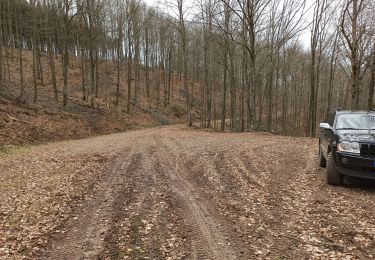
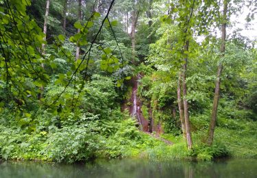
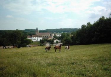
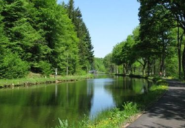
Espace VTT FFC Chemins du Cœur des Vosges - circuit n°19 - Le Rouge Moulin Circuit officiel labellisé par la Fédération Française de Cyclisme. Une première côte soutenue conduit à Haudompré et l’étang de Corbefaing avant de redescendre sur Le Molieu et les Fays Duquin pui remonter vers les Conchets. Une belle descente sur Xertigny qui continue sur La Gare et Amerey avant de revenir à la Chapelle Aux Bois.

Elevation profile

Photos

Positioning

Country:
France
Region :
Grand Est
Department/Province :
Vosges
Municipality :
La Chapelle-aux-Bois
Location:
Unknown
Start:(UTM)
301371 ; 5323832 (32U) N.

Trails nearby

Trail Walking Le Clerjus - 13-03-22 piste pour 4x4 et boucle à pied étang de Corbefaing - Photo
Walking
annefrance70

Walking

Medium
Le Clerjus, Grand Est, Vosges, France
9 km | 11.3 km-effort
1h 28min
No
Trail Walking Les Voivres - étang Lallemand - Photo
Walking
lacote

Walking

Medium
Les Voivres, Grand Est, Vosges, France
8 km | 10.6 km-effort
2h 19min
Yes
Trail Mountain bike La Chapelle-aux-Bois - Espace VTT FFC Chemins du Coeur des Vosges - circuit n°18 - Le Grand Bois - Photo
Mountain bike
tracegps

Mountain bike

Easy
La Chapelle-aux-Bois, Grand Est, Vosges, France
11.7 km | 14.5 km-effort
49min
Yes
Trail Mountain bike Les Voivres - Espace VTT FFC Chemins du Coeur des Vosges - circuit n°2 - Les Chicottes - Photo
Mountain bike
tracegps

Mountain bike

Difficult
Les Voivres, Grand Est, Vosges, France
21 km | 27 km-effort
2h 0min
Yes
Trail Mountain bike Les Voivres - Espace VTT FFC Chemins du Coeur des Vosges - circuit n°1 - La Chèvre - Photo
Mountain bike
tracegps

Mountain bike

Easy
Les Voivres, Grand Est, Vosges, France
10.2 km | 12.7 km-effort
1h 0min
Yes
Trail Mountain bike La Chapelle-aux-Bois - Espace VTT FFC Chemins du Coeur des Vosges - circuit n°20 - La Vierge des Neiges - Photo
Mountain bike
tracegps

Mountain bike

Difficult
La Chapelle-aux-Bois, Grand Est, Vosges, France
17.3 km | 22 km-effort
1h 30min
Yes
Trail Walking Xertigny - Cirkwi-Les_Woodies - Photo
Walking
Emmanuel Remy

Walking

Medium
Xertigny, Grand Est, Vosges, France
7.9 km | 10 km-effort
2h 16min
Yes
Trail Walking Xertigny - Cirkwi-Le_Hazot - Photo
Walking
Emmanuel Remy

Walking

Difficult
Xertigny, Grand Est, Vosges, France
11.3 km | 14.5 km-effort
3h 17min
Yes
Trail Walking Xertigny - Cirkwi-Le_Tabourin - Photo
Walking
Emmanuel Remy

Walking

Medium
Xertigny, Grand Est, Vosges, France
4.6 km | 6 km-effort
1h 22min
Yes


Close
My subscriptions